Frederick Butler. A modern atlas, to accompany the system of geography and history combined: for the use of families and schools. Wethersfield [Connecticut?]: Beming & Francis. 1825.

Maps
$350
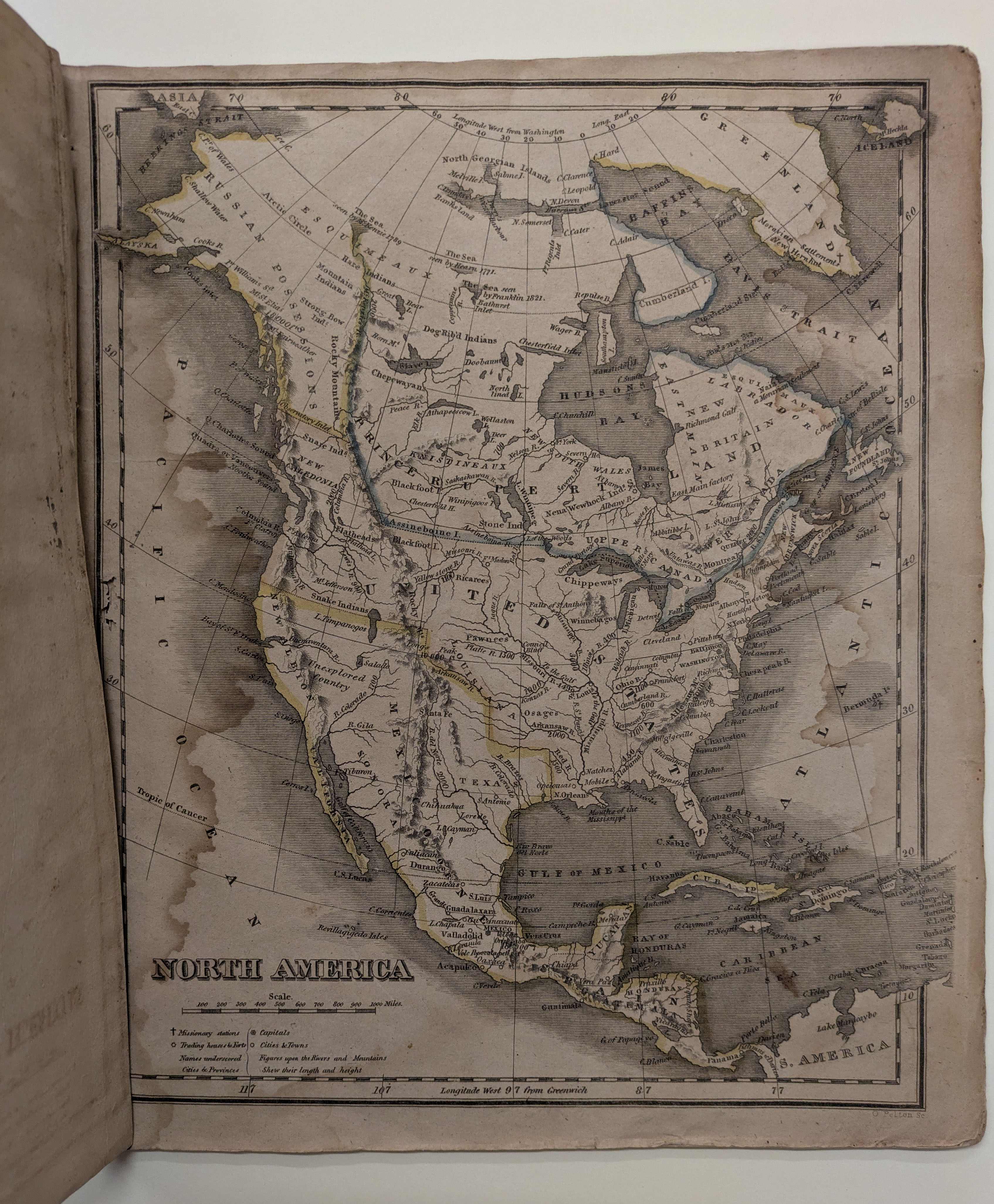
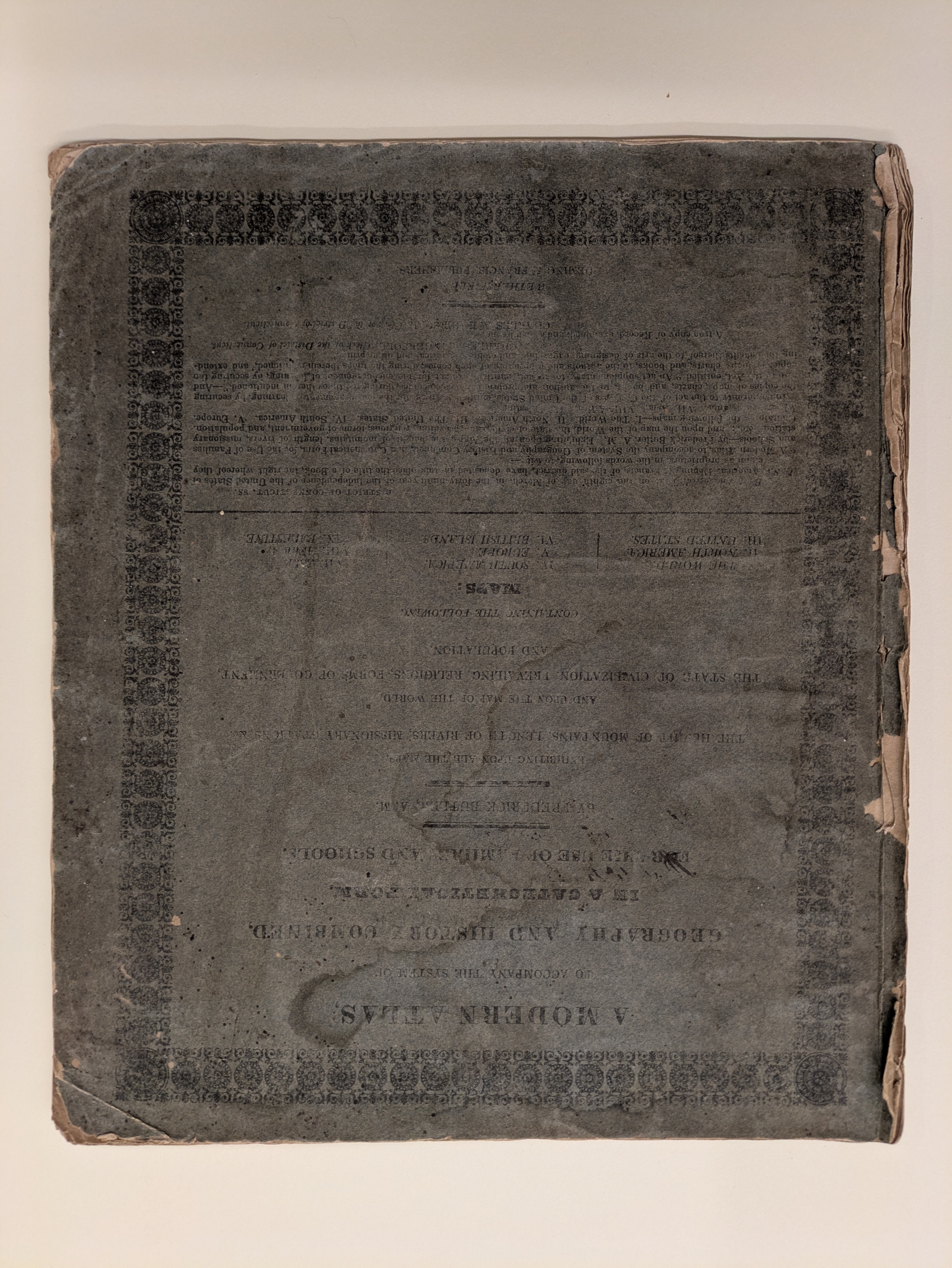
This small atlas includes nine maps and multiple statistical tables. The map of North America shows United States claims on lands in the Pacific Northwest extending into Canada labeled New Caledonia and Canada labeled as Prince Rupert Land, referring to the control of the land by the Hudson’s Bay Company. The statistical tables are printed on the inside covers. The front cover focuses on data documenting the extent, population (including freed and enslaved people), military power, and commerce of the United States and its territories, while the back cover gives the heights of mountains and lengths of rivers.