
Maps & Atlases
Maps & Atlases Research Guide
The Map Division of the Clements Library cares for an outstanding collection of printed and manuscript maps. These images range in detail and subject matter from floor plans of rooms and buildings to world maps. The focus of collecting is on maps of the Americas dating from European exploration and colonization to the early years of the twentieth century. Its strengths include mapping of the Americas before 1820; the American Revolution; the Caribbean; North American Conflicts such as the Indian Wars of the 1790s, War of 1812, and Mexican-American War; surveying maps; marine charts; student maps from the 19th century; city and town planning maps; fortifications; atlases featuring 16th-19th century materials and U.S. counties during the 19th century; as well as other topics. Most non-American cartography is contained within the general atlases in the collection.
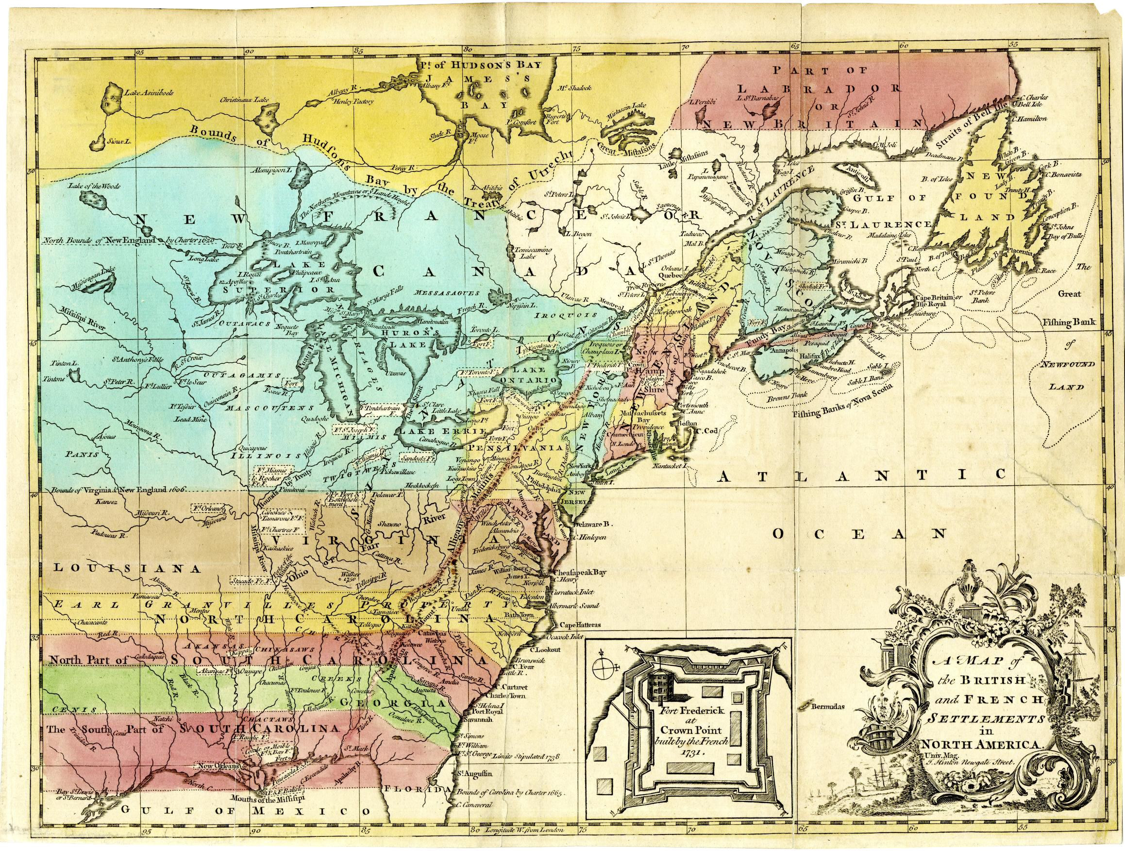
This subject guide is intended to offer a broad overview of holdings at the Clements Library related to maps, their production and consumption. It is meant as a starting point for researchers interested in this topic, not an exhaustive list of all relevant materials. More information about the Map Division can be found on the division collection page. If you have any questions about this guide or our holdings, please contact us here.
The William L. Clements Library offers fellowships to help scholars access the Library’s rich primary source collections for research. There are a variety of week-long and short-term fellowships specifically supporting research projects related to maps, atlases, cartography, and visual culture. Visit the Fellowships website for information regarding application information and deadlines.
Highlights from the Clements Collections
Map History
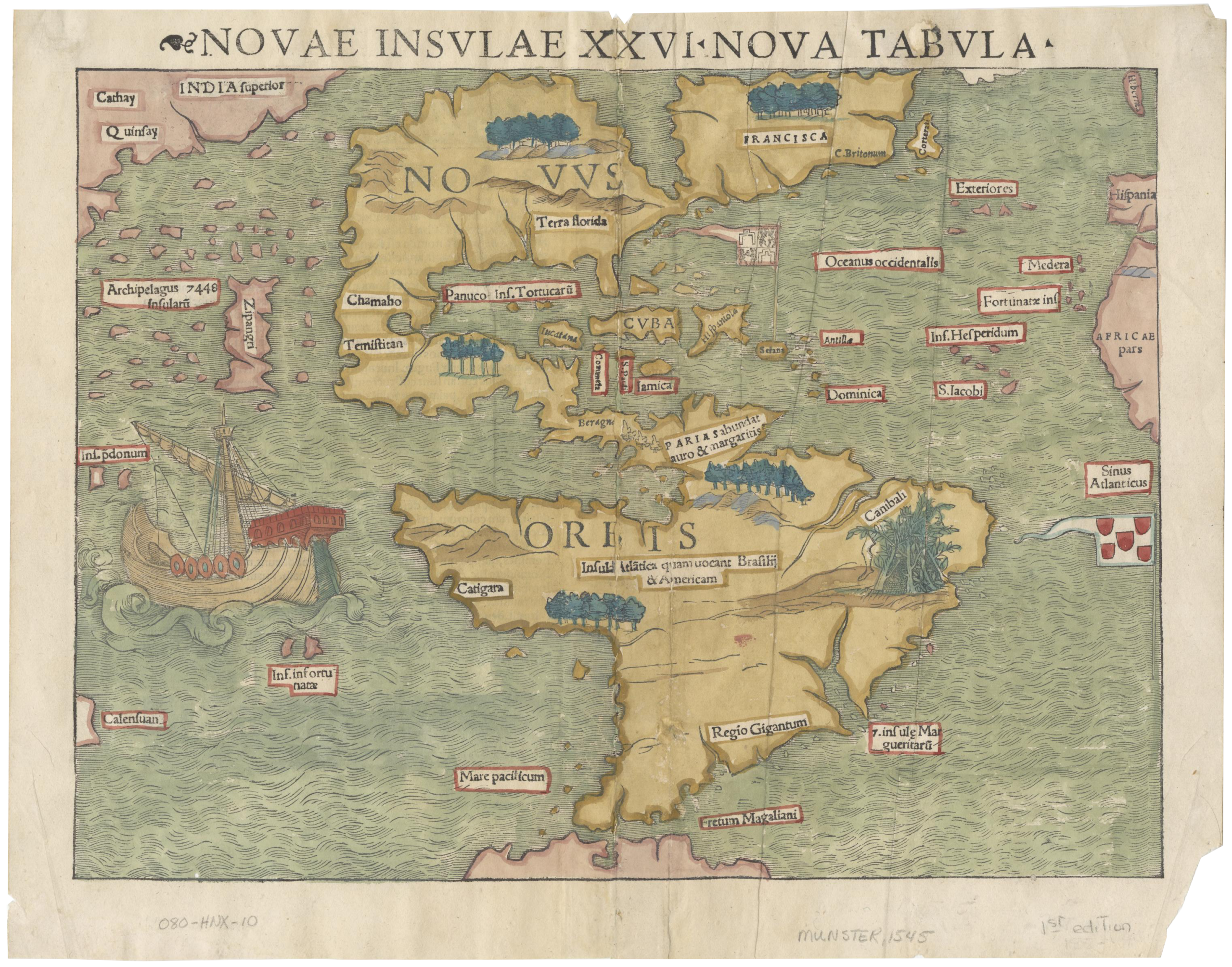
The Map Division holds important original items related to the history of maps and mapmaking, especially in the European tradition. In addition, its reference section contains works important for the understanding of the original documents. A representative sample follows here:
- Ptolemy: Claudius Ptolemy, Geographia, 27 editions from the 1486 Ulm to 1600.
- Ortelius: Abraham Ortelius, Theatrum Orbis Terrarum, 12 editions from 1570 to 1700.
- Blaeu: Joan Blaeu, Atlas Major or Le Grand Atlas, in twelve volumes, Amsterdam 1663-1667.
- Cassini: Jacques Cassini, Planisphere terrestre, Paris, 1696: a rare copy of the publication of his father’s large map inscribed on the floor of the Paris Observatory with the most recent longitude locations.
American History
- J.F.W. Desbarres, Atlantic Neptune, 1774-1781. Seminal marine survey of the coast of North America following the French and Indian War.
- “Murray map”: “Plan of the part of Canada and the River St; Lawrence which lies between the Coteau des Cedres the uppermost settlements of Canada, and the Island of St; Therese, containing the Island of Montreal….”; 69 manuscript maps of a section of the Saint Lawrence River and environs, the survey performed over a year, between late autumn 1760 autumn 1761 by military engineers under the command of Brig. Gen. James Murray, and completed in 1762. One of five known copies.
- Mitchell map: Dr. John Mitchell, A map of the British and French Dominions in North America. Four London editions (1755 – 1775). A Dutch copy (Covens & Mortier, Amsterdam 1755) and French editions by Georges LeRouge, Amerique septentrionale…par le Docteur Mitchel, Paris, 1756 and 1777.
- Manuscript military maps from the manuscript collections of General Thomas Gage , Lord George Sackville Germain, Jeffrey Amherst, William Petty, Lord Shelburne, and Sir Henry Clinton pertaining to the French and Indian war, the interwar period, and the American Revolution. The majority have been digitized and may be found by using the appropriate search terms for these collections (see “Local Subject Headings” below).
- Wilson globes: James Wilson, Vermont farmer turned globe maker, 13 inch celestial (1811) and terrestrial (1812) globes. See Clements blog post July 2019.
- Statistical Atlas of the United States based on the results of the ninth census 1870: compiled by Francis Walker, published by Julius Bien, New York in 1874, using data from the 1870 census to visualize population, social, industrial and vital statistics. A milestone in thematic mapmaking in the nineteenth century.
- U.S. County atlases of the 19th century, with heavy representation of the Midwest, documenting land ownership, civic institutions, and local architecture.
Subject Headings & Keywords
One way to find maps of a specific place in our catalog would be to use the subject headings below or “[Place name]–Maps” or “[Place name]–Manuscript maps”, including states, countries, and continents, and combining them with other keywords of relevance.
Subject Headings
- Atlases--Early works to 1800.
- Bird’s-eye views.
- Caribbean Area--Maps.
- Early maps.
- Imaginary places--Maps.
- Indians of North America--Maps.
- Maps shelf.
- Real property--Maps.
- Seven Years’ War,1756-1763 --Maps.
- Student maps.
- United States--History--Civil War, 1861-1865--Maps.
- United States--History--Revolution, 1775-1783--Maps.
- Western Hemisphere--Maps.
- West (U.S.)--Maps
Local Subject Headings
Below are Subject headings localized to the Clements collection and searchable in the library catalog, not including the collections and subject headings highlighted above.
- Brun Guide/Brun Maps.
- These interchangeable subject headings lead to the 1,933 manuscript maps included in the 1959 Guide to the manuscript maps housed in the Clements collection at this point in time in the catalog.
- Doysié Maps.
- These 137 photostatic facsimiles, created in Paris in the 1920s by Abel Doysié, French historian and poet, reproduce 17th and 18th century manuscript maps of North America from French archives. The photostats generally include the name of the archive with its original call number or shelf mark, making it possible to search for the original document, today often digitized by the home archive.
- Baldwin Maps.
- This collection of family and business papers includes 479 maps by Loammi Baldwin, engineer and colonel of the 26th Continental Infantry in the Revolution, and his son Loammi Baldwin, Jr., the father of civil engineering in America. Baldwin Jr. built Fort Strong in Boston Harbor, designed the Bunker Hill monument, and was city engineer for Boston. Some are digitized.
- Coote Maps.
- The Eyre Coote papers, Series IV: Maps consist of 40 maps of England, Ireland, the Netherlands, Portugal, and locations in the Mediterranean, including Egypt and Asia Minor (Turkey), owned by Eyre Coote (1759-1823), Captain in the British Army during the Revolutionary War, among other military positions afterwards, and later Governor General of Jamaica from 1805-1808 and a member of the British Parliament from 1812-1818. The collection contains 63 maps within the military papers, orderly books, journals, and notebooks series. Of particular interest are two of Walsh’s journals with maps, sketches, and watercolors of Egypt during Coote’s expedition and along the Mediterranean coast from June-December 1801.
- The James S. Schoff Civil War Collection.
- The James S. Schoff Civil War Collection documents the experience of soldiers in the American Civil War. There are 191 maps in the collection.
- Karpinski Maps.
- In the 1920s, University of Michigan mathematics professor Louis Karpinski oversaw the creation of 744 photostatic facsimiles of 17th and 18th century manuscript maps of North America from French, Spanish, and Portuguese archives. The photostats generally include the name of the archive with its original call number or shelf mark, making it possible to search for the original document, today often digitized by the home archive.
- Manuscript maps.
- These approximately 4,000 manuscript maps represent a particular form of mapmaking. Manuscript maps are typically hand-drawn maps, including artistic and individualized elements, and serve navigation and geographic, political, and cultural education and representational purposes.
- Simcoe Maps.
- From the John Graves Simcoe Papers, 15 North American maps pertain to Loyalist Colonel Simcoe’s career as an officer during the American Revolution and as Governor of Upper Canada (1792-1796). Several maps have been attributed to John’s wife, Elizabeth Simcoe
- Vignaud Maps.
- From the collection of Henri Vignaud (1830-1922), New Orleans native, Secretary to the American Legation in Paris, and president of the Société des Americanistes de Paris, and scholar of cartography and American history. His collection was acquired by the University in 1923, and the atlases and items related to the Americas, as well as Vignaud’s papers, are housed in the Clements.
- Wheat Maps.
- From the collection of Renville Wheat, (1893-1968), nephew of the library’s founder, William L. Clements. A graduate of the University of Michigan Law School and a decorated veteran of World War I, Renville Wheat was a prominent attorney in Detroit who shared his uncle’s enthusiasm for rare books and maps, and became a founding member of the Clements Library Associates and chairman of the Board of Governors. His collection comprises 137 atlas-maps that document North America, Canada, the Great Lakes, the U.S. Midwest, and Michigan ca. 1545-1873, majority ca. 1627-1865.
Keywords
- Cartography
- Cartouche
- City Planning
- Cityscapes
- Dwelling
- Geography
- Globes
- Mercator
- Pencil Sketch Map
- Railroad
- Real Property
- Route
- Settlements
- Small map
- Streets
- Survey
- Table of Reference
Digital Resources
Digitized Archival Collections
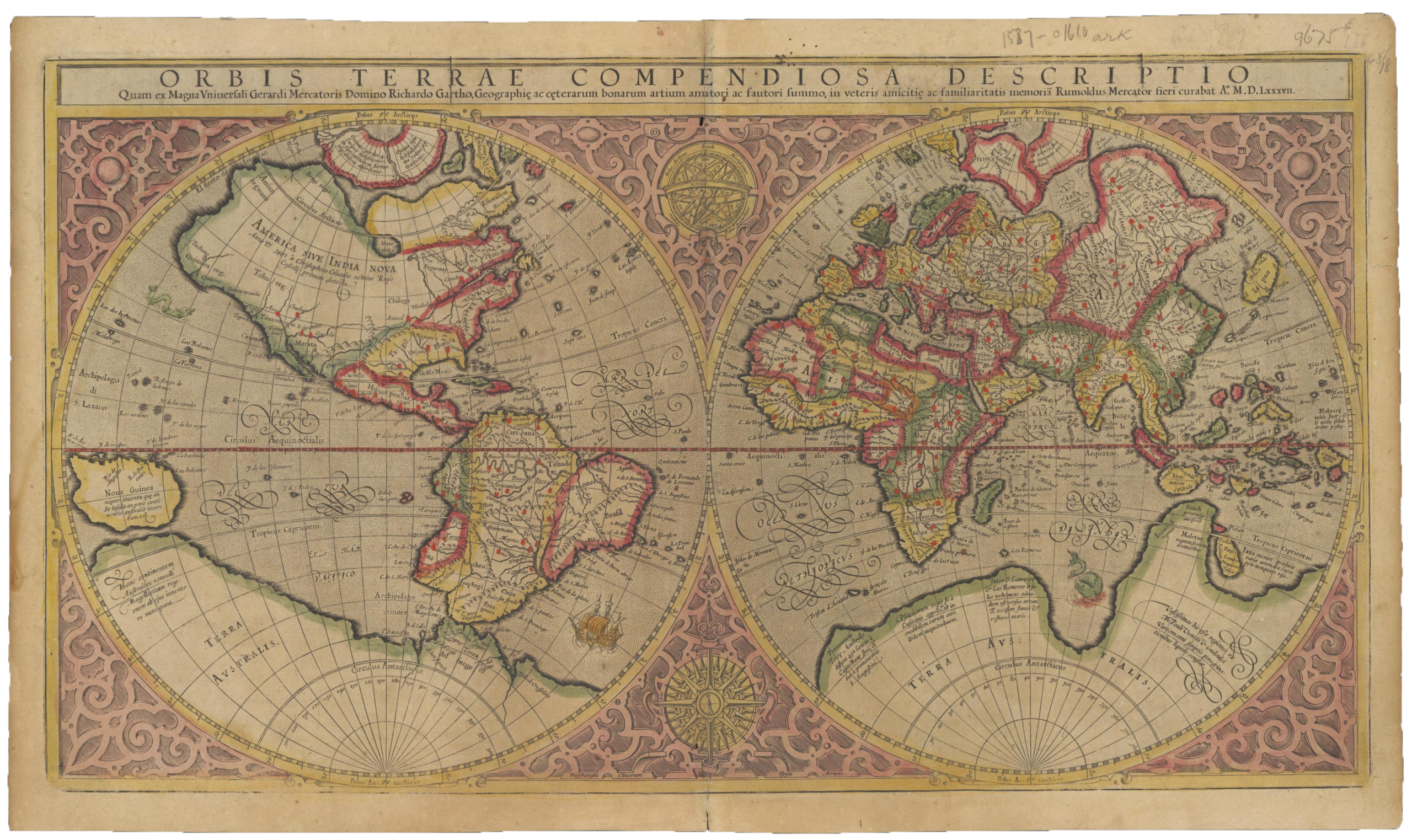
- Maps in the Clements Image Bank
- Manuscript Maps in the Clements Image Bank
- Bird’s-Eye View Project
- George Sackville Germain papers, 1683-1785
- Henry Clinton papers, 1736-1850, Maps and Manuscript Map Descriptions
- Murray Atlas of Canada (Image Bank)
- Thomas Gage papers, 1738-1807 Maps
- Wheat Maps in the Image Bank
- William Petty, 1st Marquis of Lansdowne, 2nd Earl of Shelburne papers, 1665-1885 Maps
- Jeffery Amherst papers, 1758-1764 Maps
Other Digital Resources
- Online Exhibit: The Geometry of War: Fortification Plans from 18th-Century America
- Online Exhibit: Birds’-Eye Views of America: An Interactive Map
- Article in Quarto #21 (p. 11-13): Map Wars
- Article in Quarto #37 (p. 2-4): Maps and Education
- Article in Quarto #47 (p. 4-8) : Mapping Slavery
- Article in Quarto #61: Cosmography
- Occasional Bulletins #4: Coloring Manuscript Maps in the Eighteenth Century
- Occasional Bulletins #5: Rough Sketch of the King’s Domain at Detroit
- Bookworm #13: Battles of the Revolutionary War
- Bookworm #15: The Social Life of Maps in America
- Bookworm #35: The Hacke ‘Pirate’ Atlas
- Bookworm #79: Mapping the American Revolution
- Virtual Discover Series: Cartography in the European Enlightenment (Sessions 1-3)
- Virtual Discover Series: Testing and Tracking: How maps visualize science
- Blog post: Commercial Cartography
- Blog post: Mapping Michigan
Many maps in the Clements collections have been described and discussed in context in the pages of The Quarto and in the Clements Library Chronicles blog, and may be found via a keyword search.
Bibliography
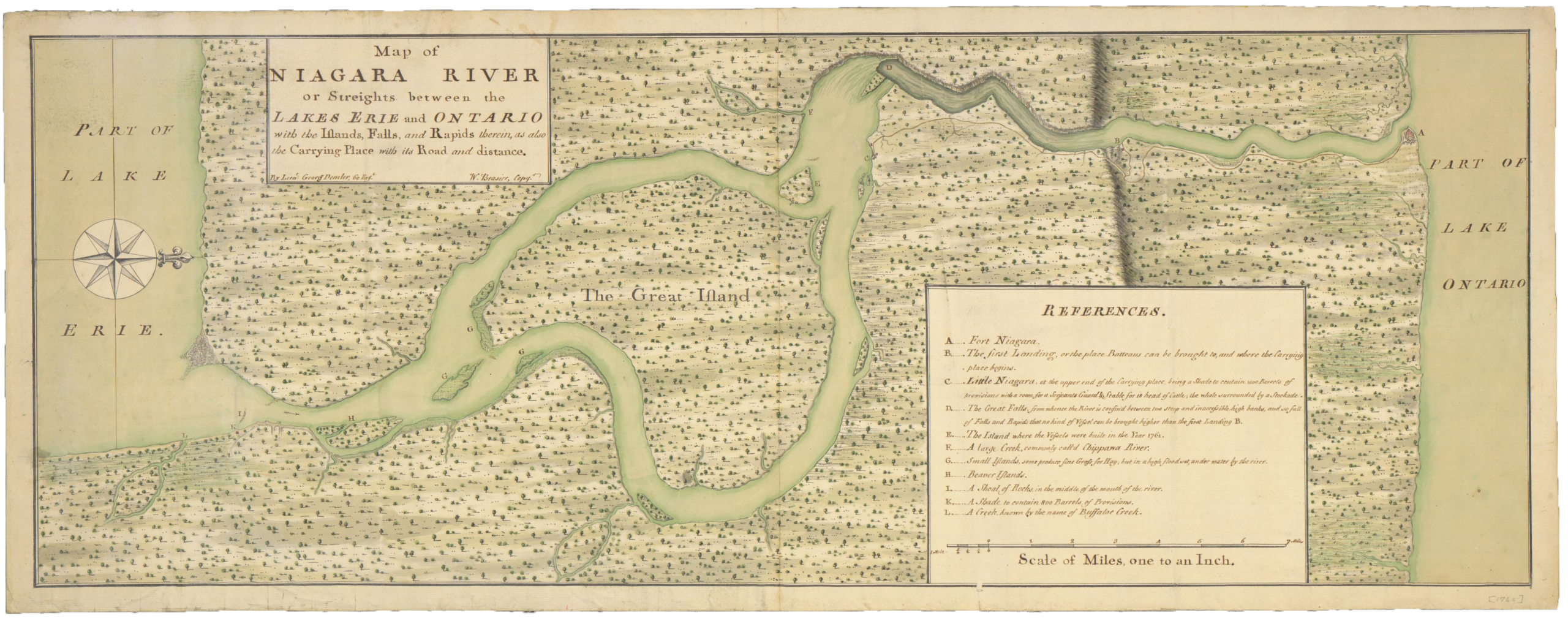
Manuscript maps in the Clements
- Adams, Randolph G. British Headquarters Maps and Sketches Used by Sir Henry Clinton. Ann Arbor, 1928.
- Brun, Christian. Guide to the Manuscript Maps in the William L. Clements Library. Ann Arbor, 1959.
- In the years since the Brun guide was published, nearly 1000 manuscript maps have been acquired which are noted in the online catalog as “Not in Brun.”
Printed maps of North America in the Clements
- Marshall, Douglas W., ed. Research Catalog of Maps on North America to 1860 in the William L. Clements Library. Boston, 1972.
Maps printed in America before 1800
- Wheat, James Clements and Christian F. Brun. Maps and Charts Published in America Before 1800, 2nd rev. ed. London, 1985.
- Wheat and Brun used the collections at the Clements to form the core of this guide, supplemented by photostats from other institutions.
Maps and Atlases from the Clements Library cited in reference cartobibliographies
- Shirley, Rodney. The Mapping of the World. Early Printed World Map, 1472-1700. London: Holland Press 1983.
- Burden, Philip D. The Mapping of North America. Rickmansworth, Herts, England: Raleigh Publications, 1996-
- Kershaw, Kenneth A. Early Printed Maps of Canada. Ancaster, Ont.: Kershaw Pub., 1993-
- McCorkle, Barbara. New England in Early Printed Maps 1513 to 1800: An Illustrated Carto-bibliography. Providence, R.I. :John Carter Brown Library, 2001.
- Cumming, William P. The Southeast in Early Maps. Chapel Hill: University of North Carolina Press, 1998.
Atlas bibliography
- Koeman, C. Atlantes Neerlandici. Bibliography of terrestrial, maritime and celestial atlases and pilot books, published in the Netherlands up to 1800. Amsterdam: Theatrum Orbis Terrarum, 1967-1971.
- This core work is being re-edited and updated as Koeman’s Atlantes Neerlandici, compiled by Peter van der Krogt. t Goy-Houten, The Netherlands: HES Publishers, 1997-
- Pastoureau, Mireille. Les atlas francais XVIe-XVIIe siècles. Paris: Bibliothèque nationale, 1984.
Other useful bibliographies include
- Nebenzahl, Kenneth. A bibliography of printed battle plans of the American Revolution, 1775-1795.
- Jolly, David C. Maps of America in periodicals before 1800 and Maps in British periodicals. Brookline, Mass.: D.C. Jolly, 1989-90. These works include maps found in the Gentleman’s Magazine, The London magazine, and the Universal Magazine, eighteenth century serials which may be found in the Clements’ Book Division.
The Clark Map Library of the University Library provides a research guide to resources for the History of Cartography in general.
Last Updated 7/07/26