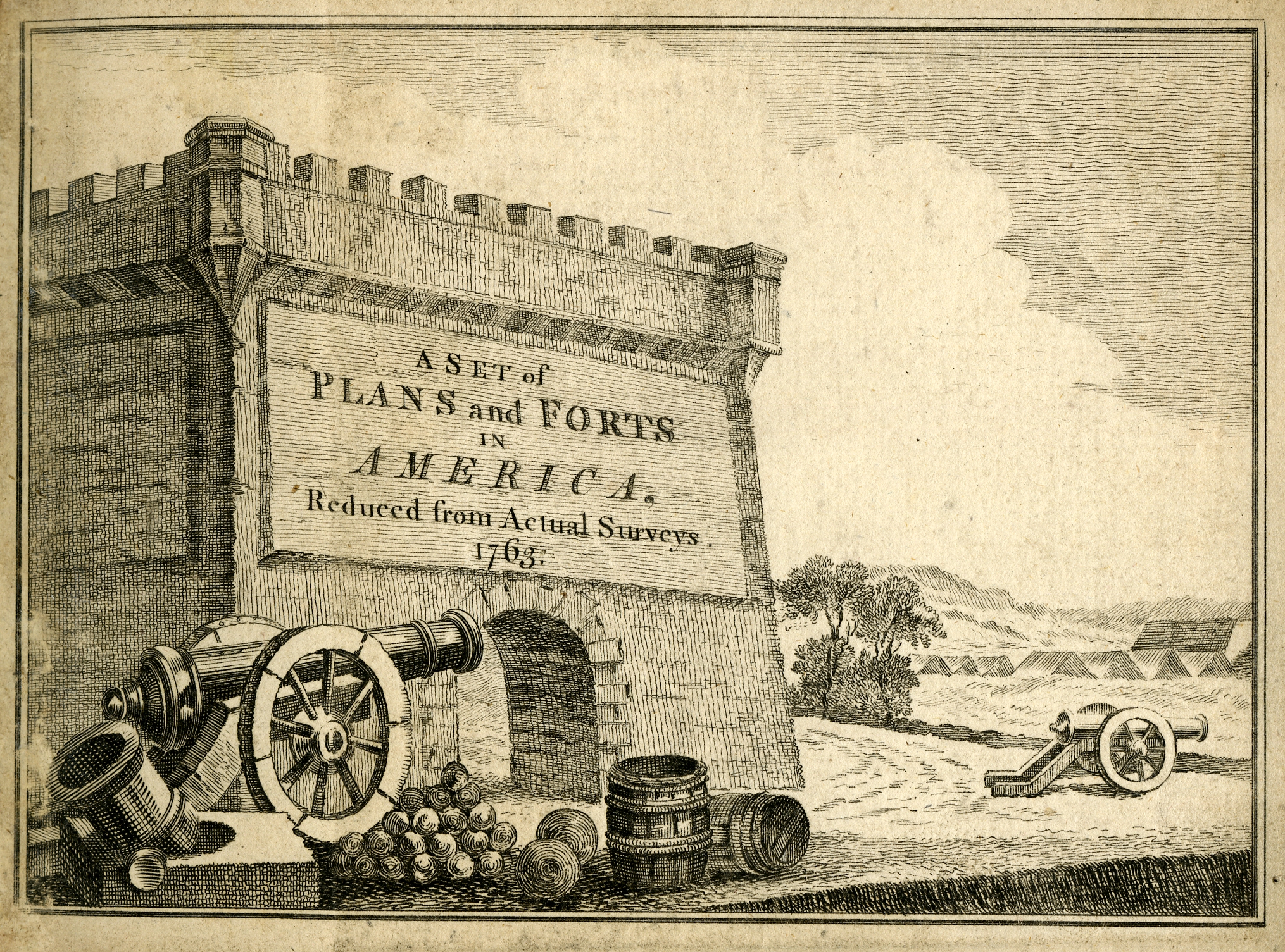
Case 1
Case 1: Fortification plans from 18th-Century America
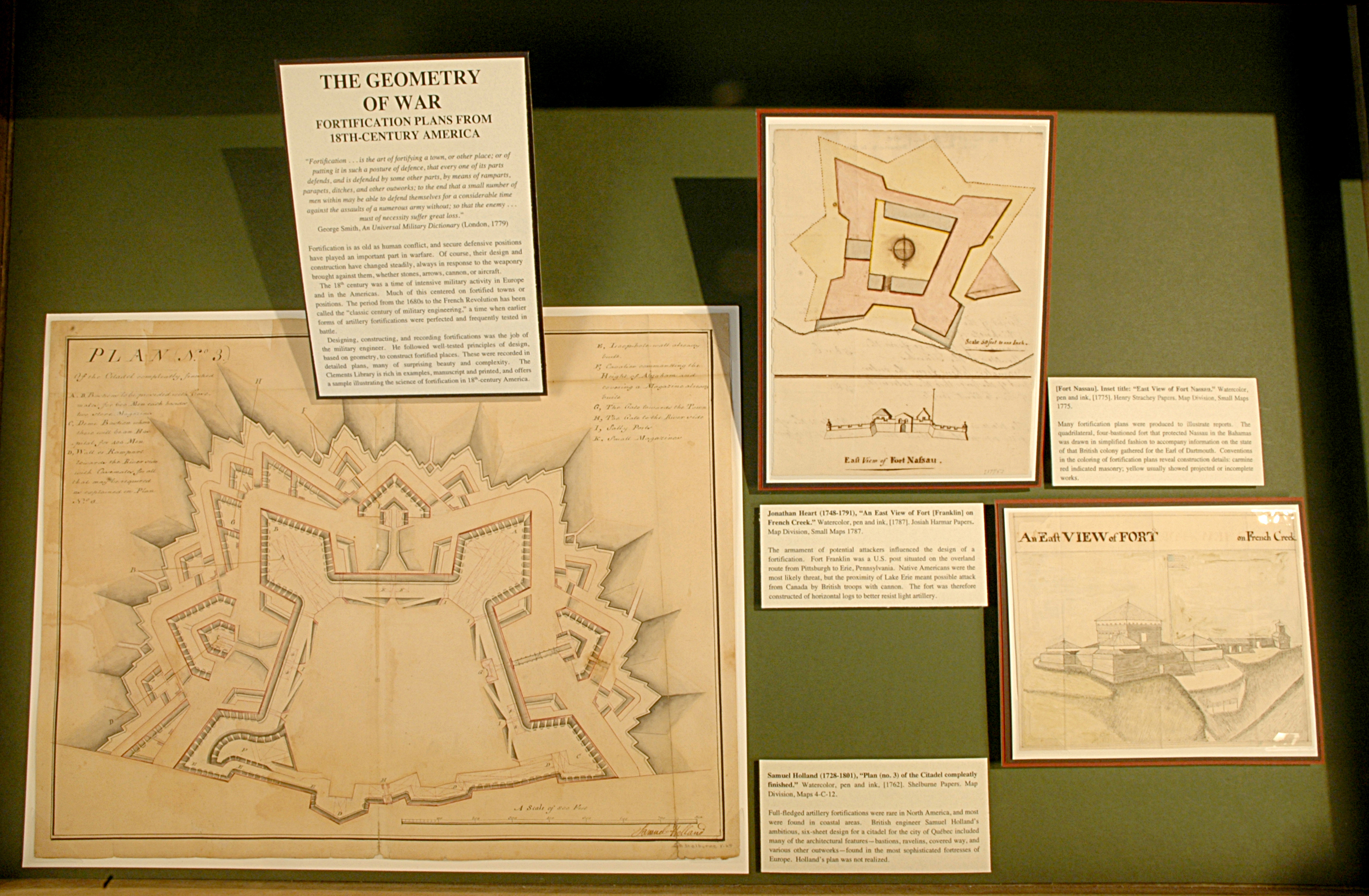
Fortification is as old as human conflict, and secure defensive positions have played an important part in warfare. Of course, their design and construction have changed steadily, always in response to the weaponry brought against them, whether stones, arrows, cannon, or aircraft.
The 18th century was a time of intensive military activity in Europe and in the Americas. Much of this centered on fortified towns or positions. The period from the 1680s to the French Revolution has been called the “classic century of military engineering,” a time when earlier forms of artillery fortifications were perfected and frequently tested in battle.
Designing, constructing, and recording fortifications was the job of the military engineer. He followed well-tested principles of design, based on geometry, to construct fortified places. These were recorded in detailed plans, many of surprising beauty and complexity. The Clements Library is rich in examples, manuscript and printed, and offers a sample illustrating the science of fortification in 18th-century America.
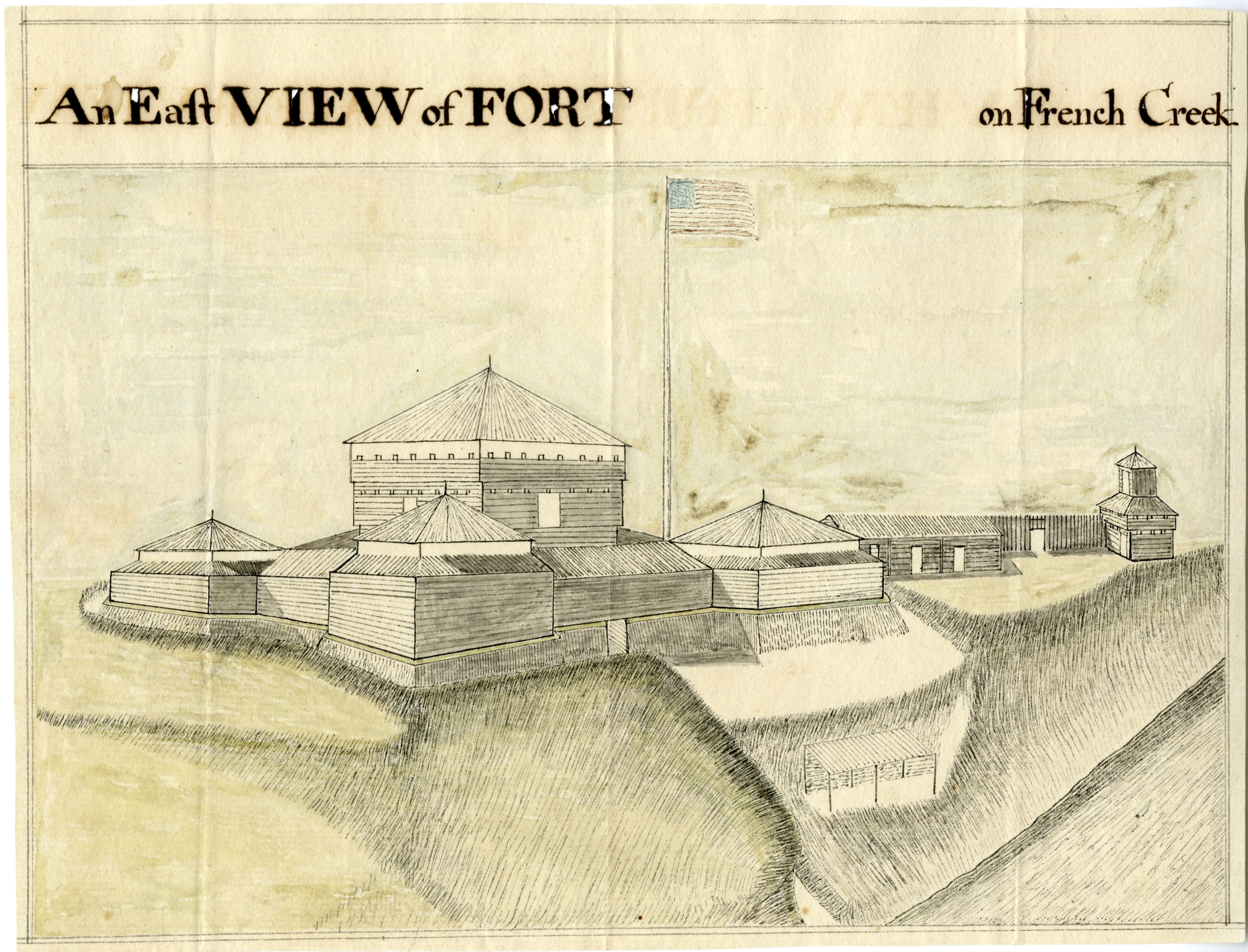
Jonathan Heart (1748-1791), “An East View of Fort [Franklin] on French Creek.” Watercolor, pen and ink, [1787]. Josiah Harmar Papers. Map Division, Small Maps 1787.
The armament of potential attackers influenced the design of a fortification. Fort Franklin was a U.S. post situated on the overland route from Pittsburgh to Erie, Pennsylvania. Native Americans were the most likely threat, but the proximity of Lake Erie meant possible attack from Canada by British troops with cannon. The fort was therefore constructed of horizontal logs to better resist light artillery.
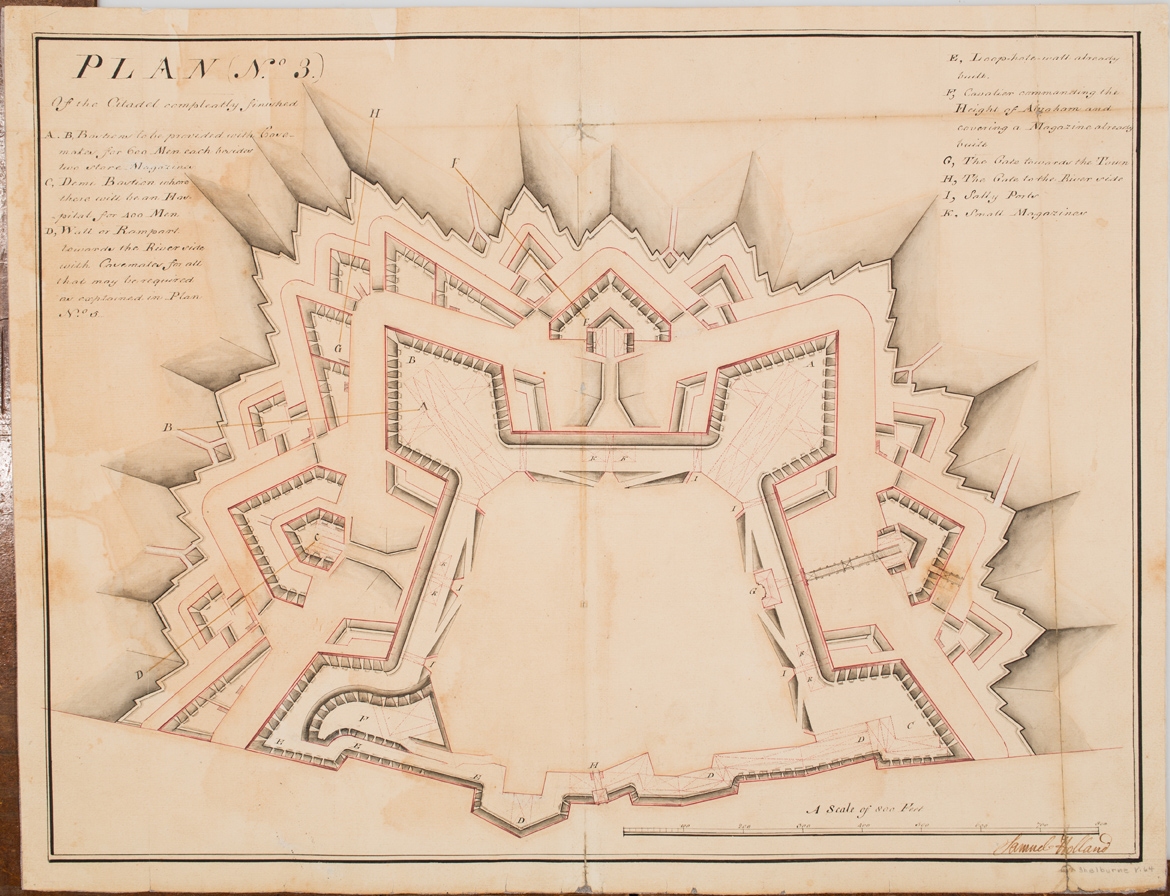
Samuel Holland (1728-1801), “Plan (no. 3) of the Citadel compleatly finished.” Watercolor, pen and ink, [1762]. Shelburne Papers. Map Division, Maps 4-C-12.
Full-fledged artillery fortifications were rare in North America, and most were found in coastal areas. British engineer Samuel Holland’s ambitious, six-sheet design for a citadel for the city of Québec included many of the architectural features—bastions, ravelins, covered way, and various other outworks—found in the most sophisticated fortresses of Europe. Holland’s plan was not realized.
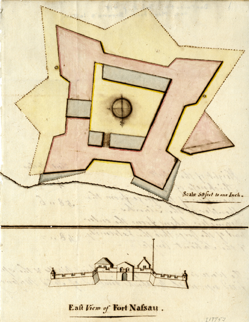
[Fort Nassau]. Inset title: “East View of Fort Nassau.” Watercolor, pen and ink, [1775]. Henry Strachey Papers. Map Division, Small Maps 1775.
Many fortification plans were produced to illustrate reports. The quadrilateral, four-bastioned fort that protected Nassau in the Bahamas was drawn in simplified fashion to accompany information on the state of that British colony gathered for the Earl of Dartmouth. Conventions in the coloring of fortification plans reveal construction details: carmine red indicated masonry; yellow usually showed projected or incomplete works.

