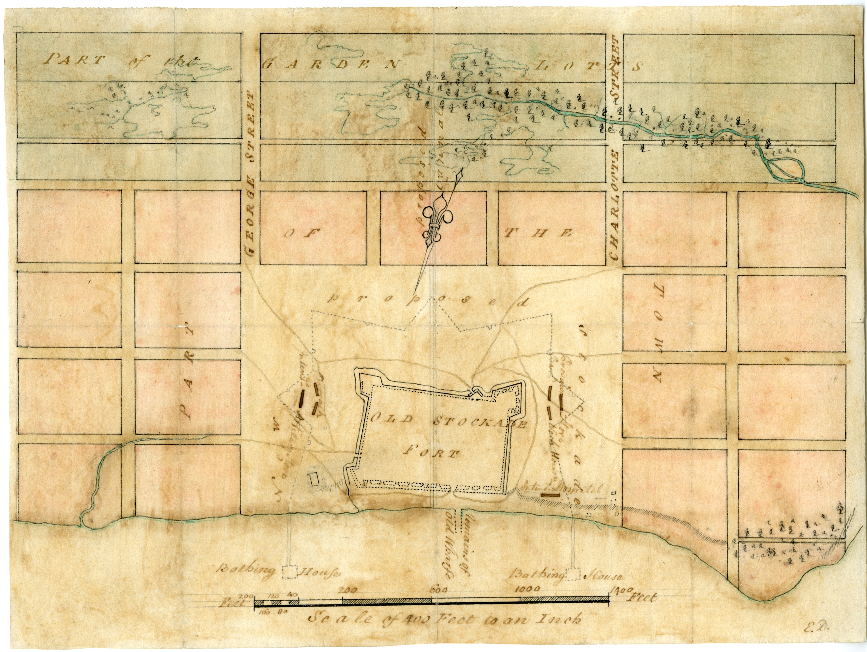
Case 7
Case 7: Commanding Ground
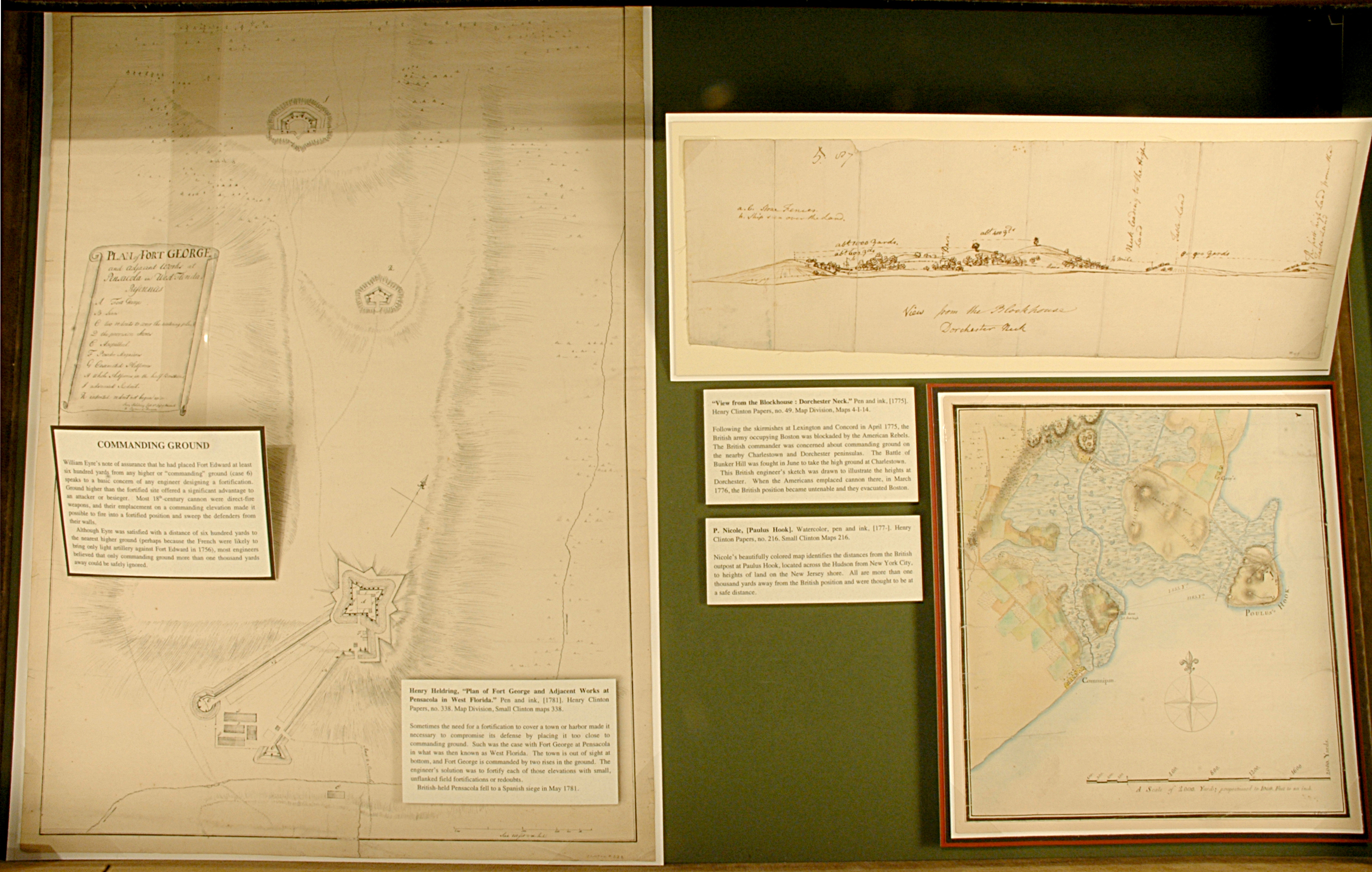
William Eyre’s note of assurance that he had placed Fort Edward at least six hundred yards from any higher or “commanding” ground (case 6) speaks to a basic concern of any engineer designing a fortification. Ground higher than the fortified site offered a significant advantage to an attacker or besieger. Most 18th-century cannon were direct-fire weapons, and their emplacement on a commanding elevation made it possible to fire into a fortified position and sweep the defenders from their walls.
Although Eyre was satisfied with a distance of six hundred yards to the nearest higher ground (perhaps because the French were likely to bring only light artillery against Fort Edward in 1756), most engineers believed that only commanding ground more than one thousand yards away could be safely ignored.

P. Nicole, [Paulus Hook]. Watercolor, pen and ink, [177-]. Henry Clinton Papers, no. 216. Small Clinton Maps 216.
Nicole’s beautifully colored map identifies the distances from the British outpost at Paulus Hook, located across the Hudson from New York City, to heights of land on the New Jersey shore. All are more than one thousand yards away from the British position and were thought to be at a safe distance
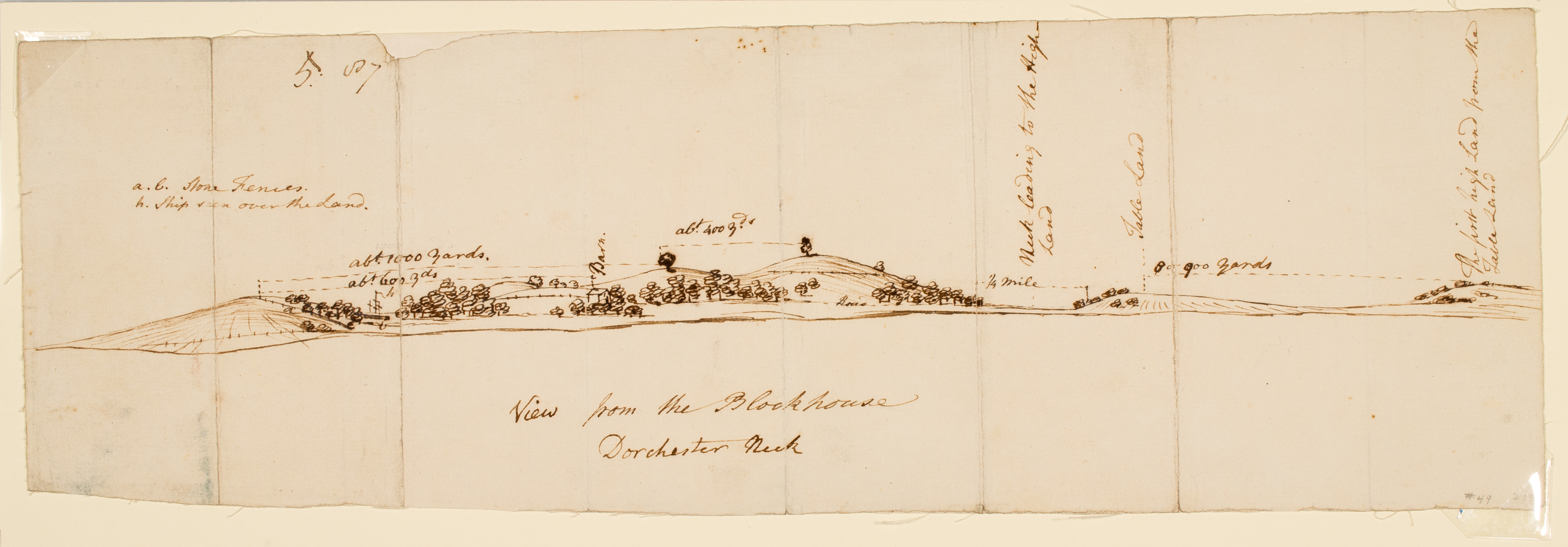
“View from the Blockhouse : Dorchester Neck.” Pen and ink, [1775]. Henry Clinton Papers, no. 49. Map Division, Maps 4-I-14.
Following the skirmishes at Lexington and Concord in April 1775, the British army occupying Boston was blockaded by the American Rebels. The British commander was concerned about commanding ground on the nearby Charlestown and Dorchester peninsulas. The Battle of Bunker Hill was fought in June to take the high ground at Charlestown.
This British engineer’s sketch was drawn to illustrate the heights at Dorchester. When the Americans emplaced cannon there, in March 1776, the British position became untenable and they evacuated Boston.
Henry Heldring, “Plan of Fort George and Adjacent Works at Pensacola in West Florida.” Pen and ink, [1781]. Henry Clinton Papers, no. 338. Map Division, Small Clinton maps 338.
Sometimes the need for a fortification to cover a town or harbor made it necessary to compromise its defense by placing it too close to commanding ground. Such was the case with Fort George at Pensacola in what was then known as West Florida. The town is out of sight at bottom, and Fort George is commanded by two rises in the ground. The engineer’s solution was to fortify each of those elevations with small, unflanked field fortifications or redoubts.
British-held Pensacola fell to a Spanish siege in May 1781.