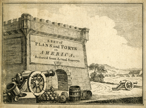
The Clements Library is pleased to offer a new online exhibit, The Geometry of War: Fortification Plans from 18th Century America, curated by Brian Leigh Dunnigan, Associate Director and Curator of Maps. This exhibit was originally on display from October 15, 2012 – February 15, 2013, in the Great Room of the Clements Library.
Fortification is as old as human conflict, and secure defensive positions have played an important part in warfare. Of course, their design and construction have changed steadily, always in response to the weaponry brought against them, whether stones, arrows, cannon, or aircraft.
The 18th century was a time of intensive military activity in Europe and in the Americas. Much of this centered on fortified towns or positions. The period from the 1680s to the French Revolution has been called the “classic century of military engineering,” a time when earlier forms of artillery fortifications were perfected and frequently tested in battle.
Designing, constructing, and recording fortifications was the job of the military engineer. He followed well-tested principles of design, based on geometry, to construct fortified places. These were recorded in detailed plans, many of surprising beauty and complexity. The Clements Library is rich in examples, manuscript and printed, and offers a sample illustrating the science of fortification in 18th-century America.
A list of all the Clements Library’s online exhibits may be found on our website.

