Clements Library Conservator Julie Fremuth provides a follow-up to our recent post about the arrival of 14 tightly-rolled sea charts and early conservation steps. The initial post Conservation Close-up: Sea Charts used in Whaling discusses Fremuth’s months-long process to safely and gradually flatten the maps. Generously donated to the Clements Library by Frederick and Janet Stingel, these charts were once used for navigation aboard whaling vessels.
***
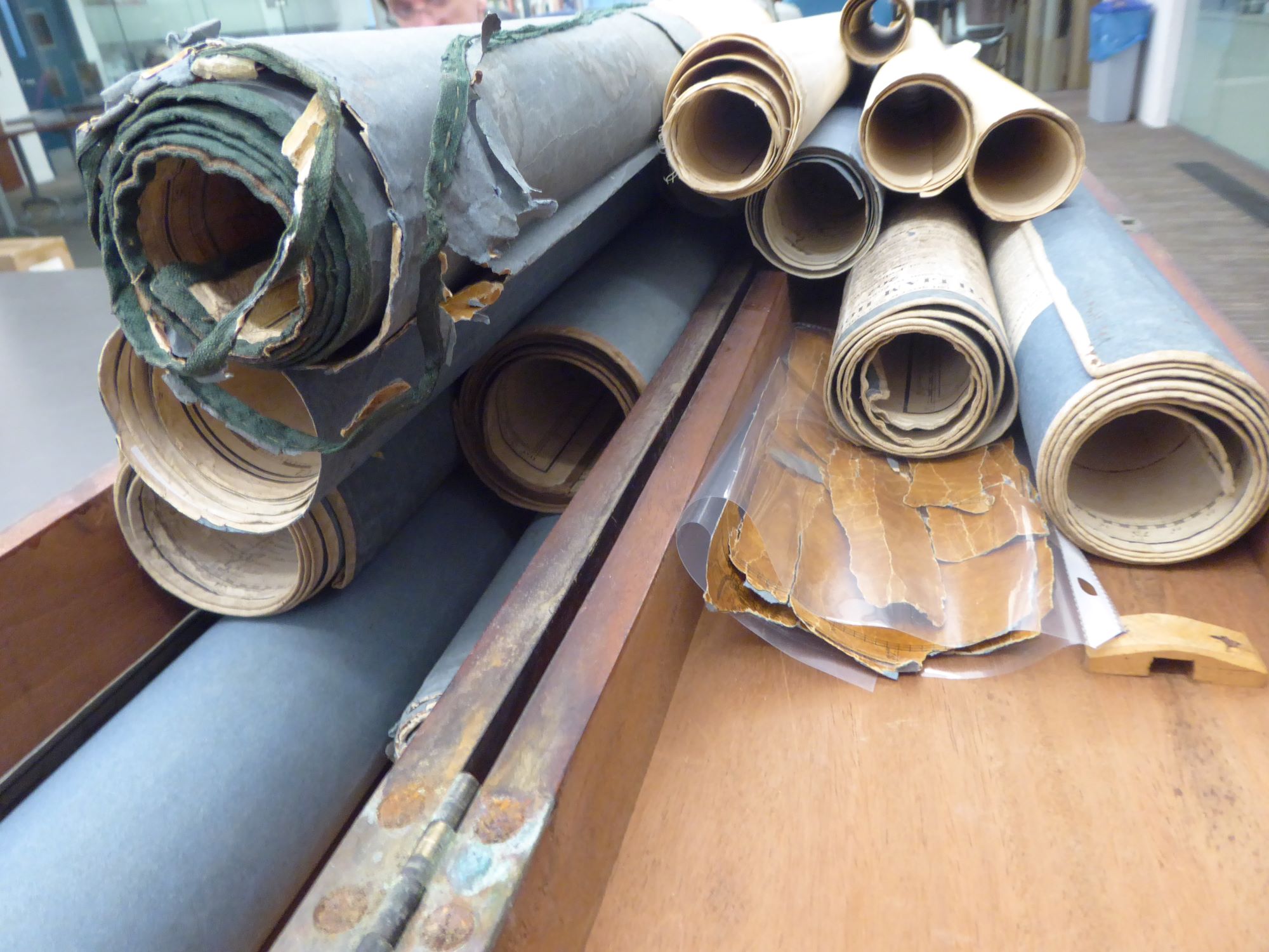
This is a follow-up to a recent post which discussed the early conservation steps of fourteen tightly-rolled sea charts.
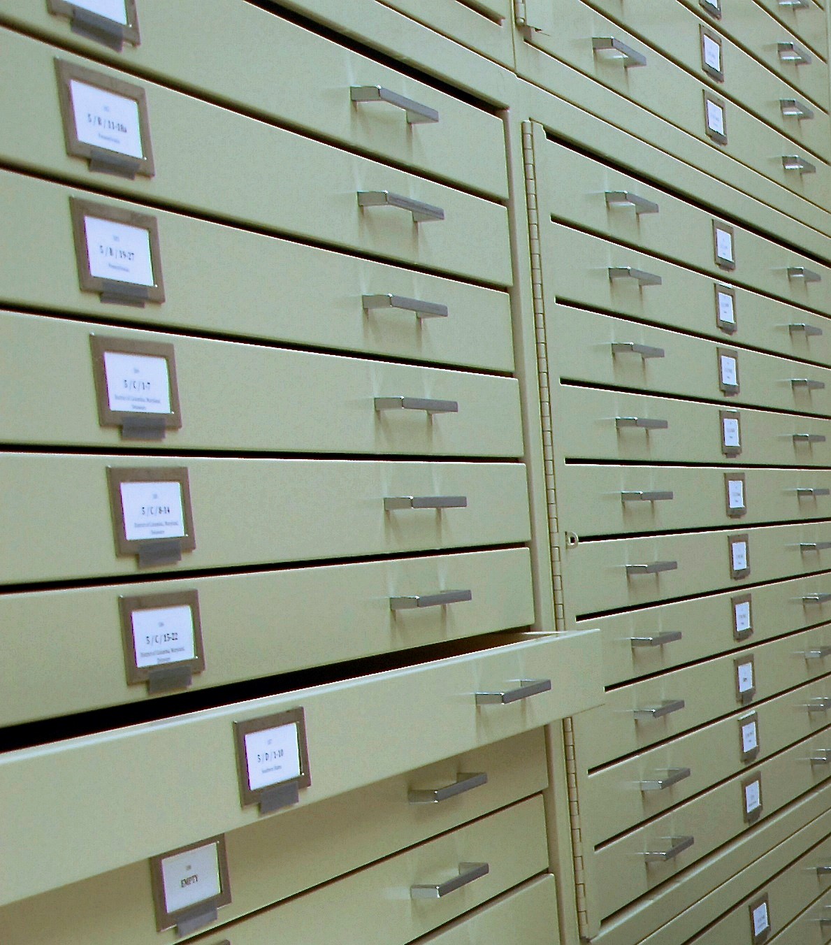
Five of the fourteen maps were smaller, in fair condition, and flattened more easily. These maps received edge repairs with Japanese paper strips and methyl cellulose. Japanese paper was chosen as it is a relatively thin, long fibered paper which provides incredible strength. Methyl cellulose was selected as the adhesive because it has a neutral pH and dries more quickly and with less penetration than wheat paste. These maps were cataloged, encapsulated, and stored flat in folders in the map drawer units.
The nine largest maps needed more flattening time and repair. Several of these maps sustained long tears from the edges. This was caused by the opposing tension in the paper, from people unrolling them when they had been stored tightly rolled for so long. Once the paper relaxed and the maps finally flattened, the tears were repaired. A heavier, blue tinted Japanese paper was used to consolidate the edges of each tear and add reinforcement from the back side.
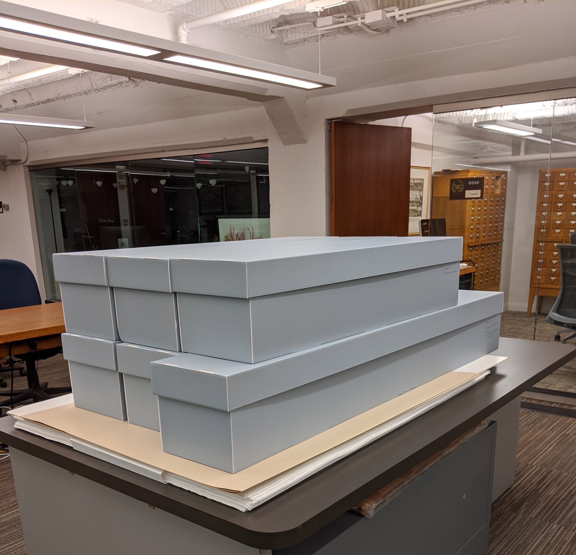
Aside from the few edge tears, these maps were printed on good paper and now are in very usable condition. However, they are either too large or too long to be stored flat in the library’s map drawer units. In order to establish safe storage and housing, each map has been carefully rolled around the circumference of its own acid-free, 8-inch diameter tube, the ends of which securely rest on “U-shaped” inserts located inside the ends of its acid-free, fitted box. The “U-shaped” inserts prevent each rolled map from shifting or resting on itself. The 8-inch diameter tube provides a gradual arc and will not compromise the opening or use of these maps in the future. Each map is stored in its own box with an affixed label. The original wooden storage box will be saved and stored with them.
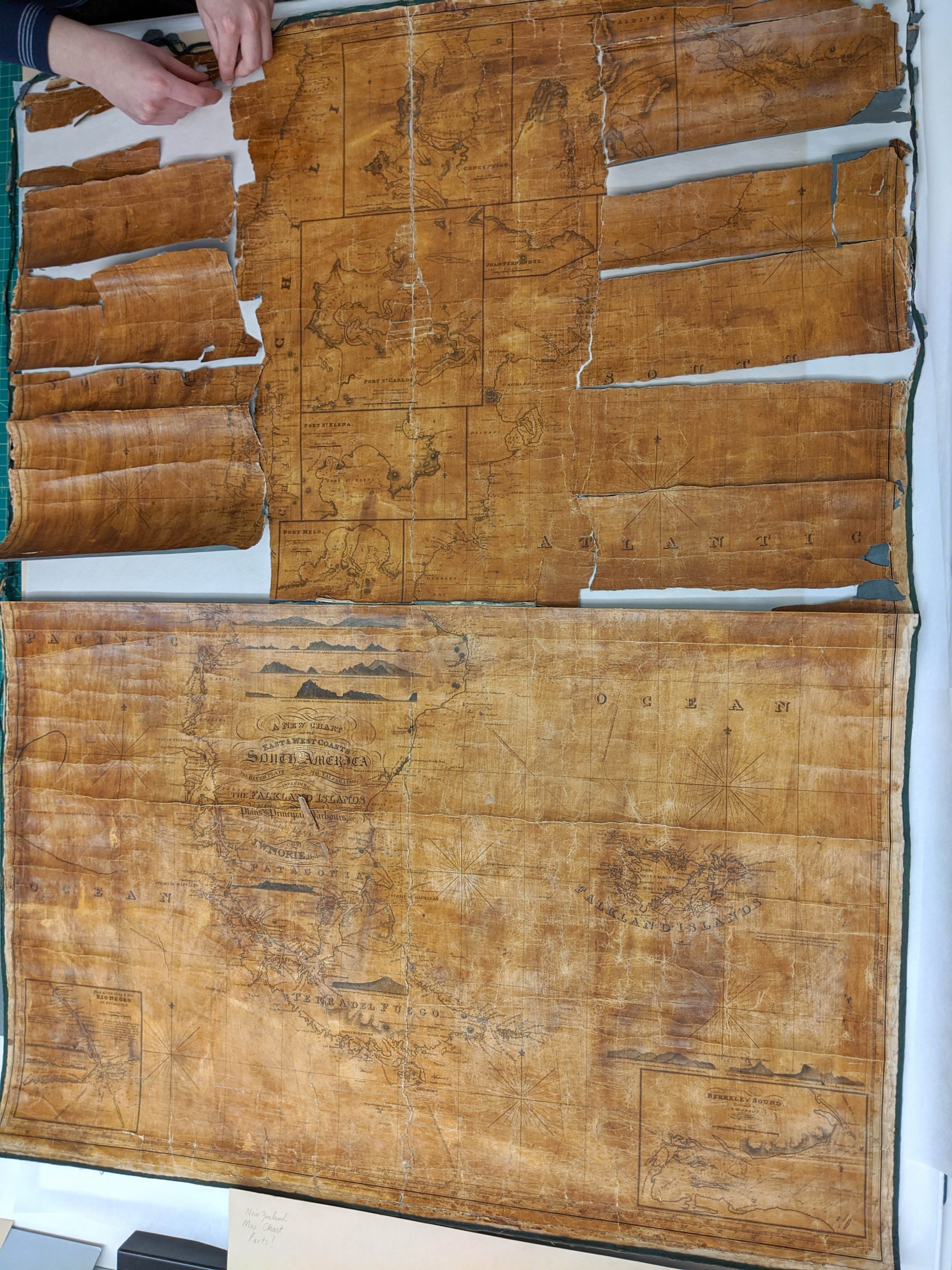
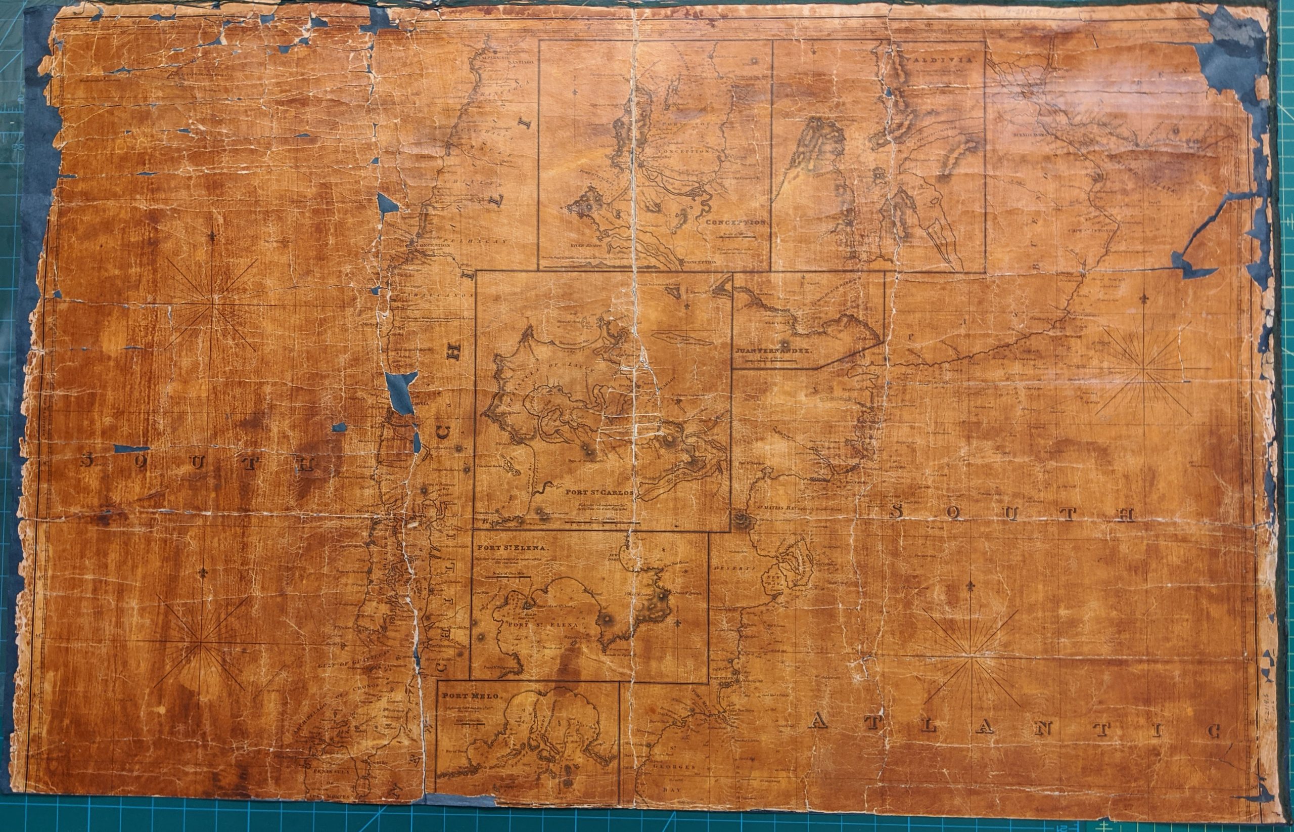
One very large map was in particularly rough condition. This map was shellacked and tightly rolled like the others. The shellac made the paper quite brittle. These conditions caused the map to crack and split into many fragments and pieces.
This map is too large to be stored flat, and we did not want to re-roll it, as the shellac has made the paper brittle and stiff. There is an existing crack across the middle of the map and we decided to separate the map into two halves and store them as two, individual pieces.
Each map half and its fragments were lined with a supportive, blue-tinted Japanese paper and methyl cellulose. The two, separately lined halves of the map now can be stored flat.
The large and varying sizes of these maps as well as the amount of time needed to flatten them made the process a bit challenging. It is gratifying now to have the maps cataloged and in usable and accessible condition.
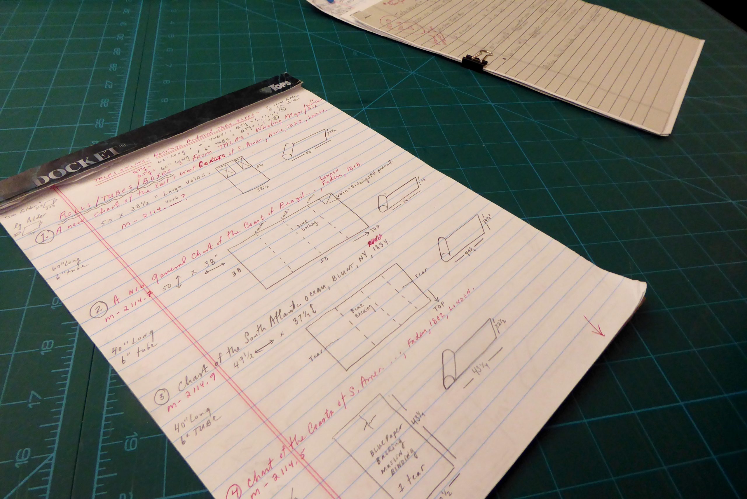
A glimpse of Conservator Julie Fremuth’s detailed notes from her long process of repairing this collection and preparing it for archival storage.
Collection of maps and charts donated by Frederick and Janet Stingel
View all 14 records in the U-M Library Catalog
- A chart of the Mahé and Amirantes Islands, with their shoals / by Monsr. le Vicomte Grenier 1776.
- Chart of the Coasts of South America from Rio de la Plata to Cape Horn, and from Cape Horn to Valparayso, Including the Isles of Juan Fernandes. 1802 – London.
- A new chart of the Azores or Western Islands / From the best Authorities by Robt. Blachford. 1809 – London.
- A New General Chart of the coast of Brazil, from the River Amazon to the River Plate / Drawn from the Surveys made by Order of the Portugese Government. 1818 – London.
- [Chart of the Pacific Ocean… ] / by A. Arrowsmith, geographer … 1798.
- Ethiopic or South Atlantic Ocean. 1820.
- Blunt’s New Chart of the Atlantic or Western Ocean : Extending from the Equator to Lat. 74°40ʹ N. Long. 31°45ʹ E. to 91°W. Drawn from the most authentick Spanish, French & English authorites including the Tracks of the United States Ships… 1821 – [New York].
- A New Chart of the East & West Coasts of South America from the River Plate to Valparaiso, including the Falkland Islands Plans of the Principal Harbours, &c. / Drawn from the latest Spanish & Other Surveys by J.W. Norie, Hydrographer. 1828 – London.
- A chart of West Falkland Island / by Lieut. Thos. Edgar of the Royal Navy. 1831 – London.
- A new chart from the Cape of Good Hope to the islands of Madagascar, Mauritius, &c., shewing the Mozambique Passages / drawn from the Surveys and Observations of Several Distinguished Navigators, & Including all the Modern discoveries, by J.W. Norie, Hydrographer. ; Stephenson, engraver. 1831 – [London].
- To The Honorable the Court of Directors, of the United Company of Merchants Trading to the East Indies Steel’s New Chart of the Indian and Pacific Oceans; : from the Cape of Good Hope to Canton and New Zeeland: Including all the passages to India and China. / Drawn from the most Recent Observations and Surveys. Is Dedicated by their most obedient servant, J.W. Norie, hydrographer. &c. 1833 – London.
- Chart of the South Atlantic Ocean. : From the Equator to 65⁰ South Latitude According to the latest surveys & observations / Engraved by W. Hooker. 1834 – New York.
- A New Chart of the Pacific Ocean : exhibiting The Western Coast of America, from Cape Horn to Beerings Strait, The Eastern Shores of Asia including Japan, China and Australia, and all the numerous Islands and known Dangers Situated in Polynesia and Australasia, / correctly drawn and regulated according to the most Approved and Modern Surveys and Astronomical Observations, by J.W. Norie, Hydrographer, &c. &c. ; Stephenson, engraver. 1836 – London.
- Map of Oregon and upper California from the surveys of John Charles Frémont and other authorities / drawn by Charles Preuss. 1848 – Washington City.


