
New Manuscript Finding Aids, May 2026
The Manuscripts Division has processed ten new collections of handwritten materials, including the 1898-99 diary of a currently unidentified soldier serving with the 31st Michigan Infantry. Everyone is welcome to conduct research at the Clements, what will you discover in our collections? 1839 entry in Robert Carpenter's account book.Robert Carpenter account book, 1819-1854 Robert Carpenter kept this account book between 1819 and 1851 to document the financial transactions relating to his work...
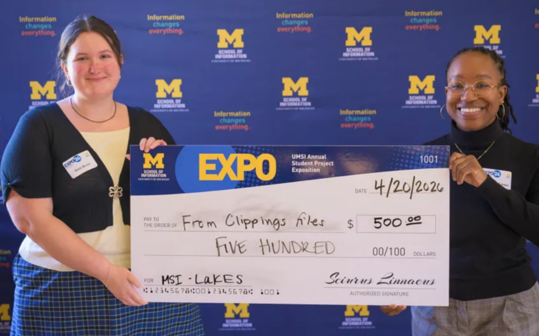
Clements Interns Present at UMSI Student Project Exposition
Last month, many of our wonderful student interns studying at the University of Michigan School of Information presented at the UMSI Student Project Exposition, an “annual poster fair that showcases the exceptional projects completed by students through their courses, co-curricular programs, student organizations and independent endeavors.” Each of them presented on the hands-on projects they participated in as part of their education this past year.

Digital Research – Where to Begin?
While visiting the William L. Clements Library in person is highly recommended, we also maintain a variety of digital resources for doing research with our collections from afar. This blog post is meant to exist as a jumping-off point for doing digital research with our collections, not as an exhaustive guide.
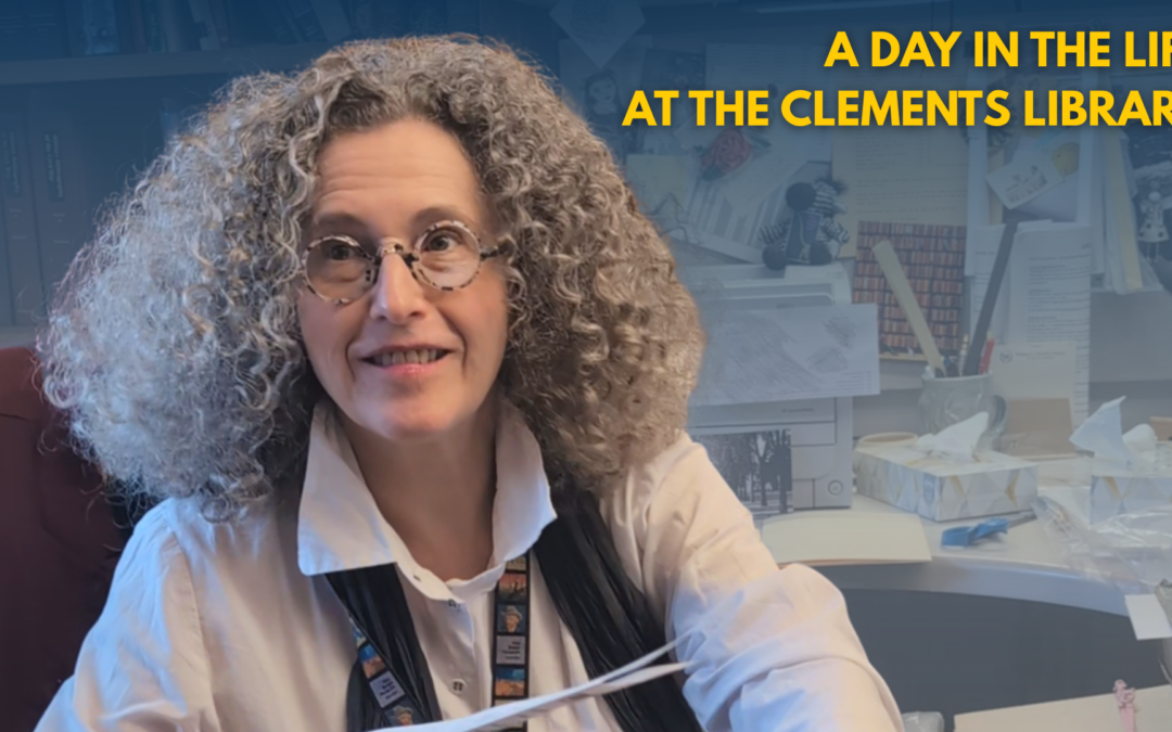
A Day in the Life at the Clements Library: Oksana Linda
Welcome to “A Day in the Life at The Clements Library!” On the fourth edition of this series, we will meet with Oksana Linda, the Rare Book Cataloger at the Clements Library!
New Manuscript Finding Aids, April 2026
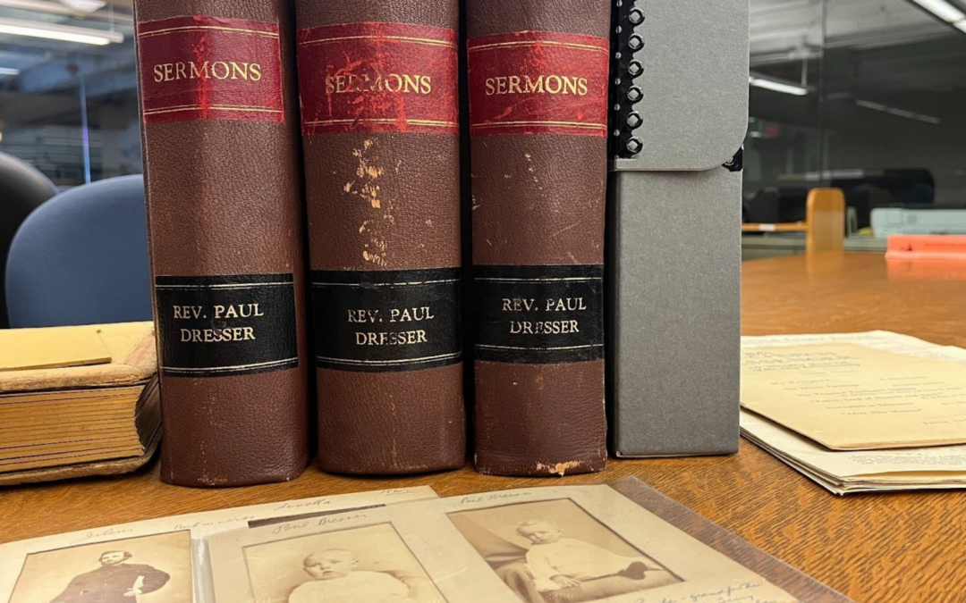
Eleven manuscript collections were made available for research this past month, including two collections graciously donated by Dan Casavant and one by Sue and Mike Jandernoa!Book Titles scrapbook, [ca. 1920s?] An unidentified compiler made this scrapbook, likely around the 1920s, by clipping letters and images from periodicals and other sources to create rebuses of book titles. For example, From Log-Cabin to Whitehouse (1920) and Mrs. Wiggs of the Cabbage Patch (1902) are represented.Brooklyn...
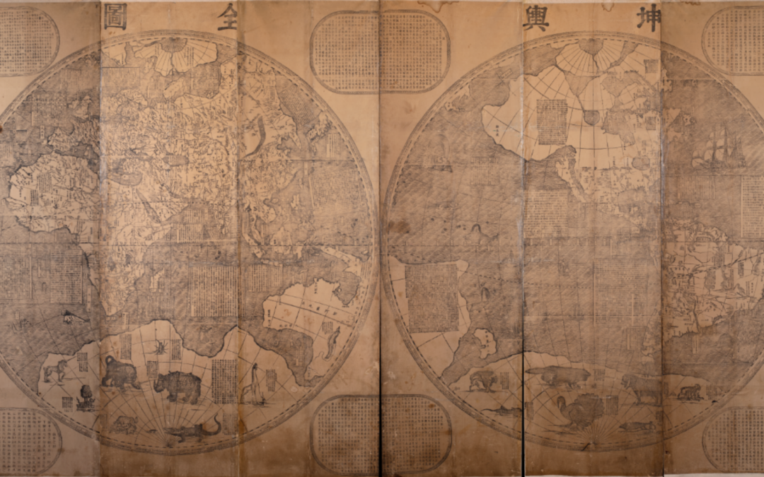
Verbiest’s Complete Map of the World Pt I: The Map
This is part one of a two part series. Read part two here.The western hemisphere from the Complete Map of the World (坤輿全圖, Kun yu quan tu) created by Ferdinand Verbiest (Nan Huairen, 南懷仁) for the Kang Xi Emperor of China in 1674. Few folks who know the Clements Library or its collections would think to look for Chinese materials there. Yet China is to be found in the study of the history of the Americas whether through migration or through the Chinese lens looking at the Americas from...
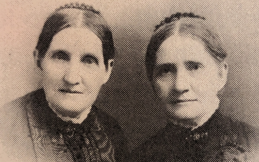
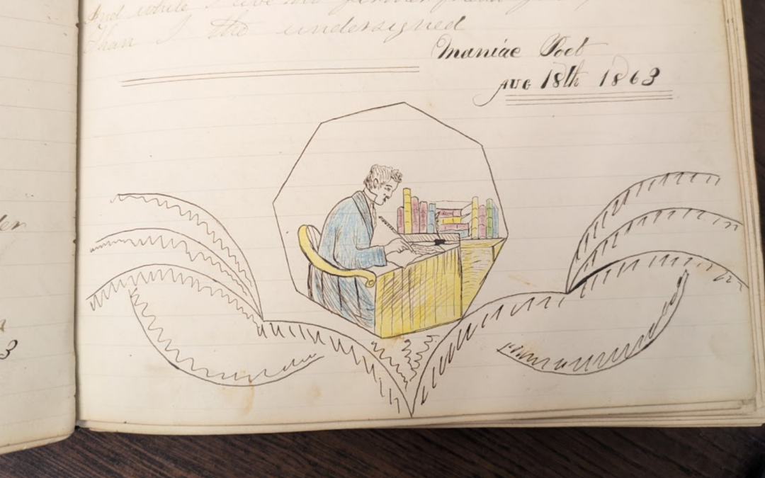
Poems Around the Civil War Pt III: An Offense on the Home Front
“An Offense on the Home Front” peaks with the stoic elegance that my great-great grandmother demonstrated in dealing with “uncouth rebel youth.”
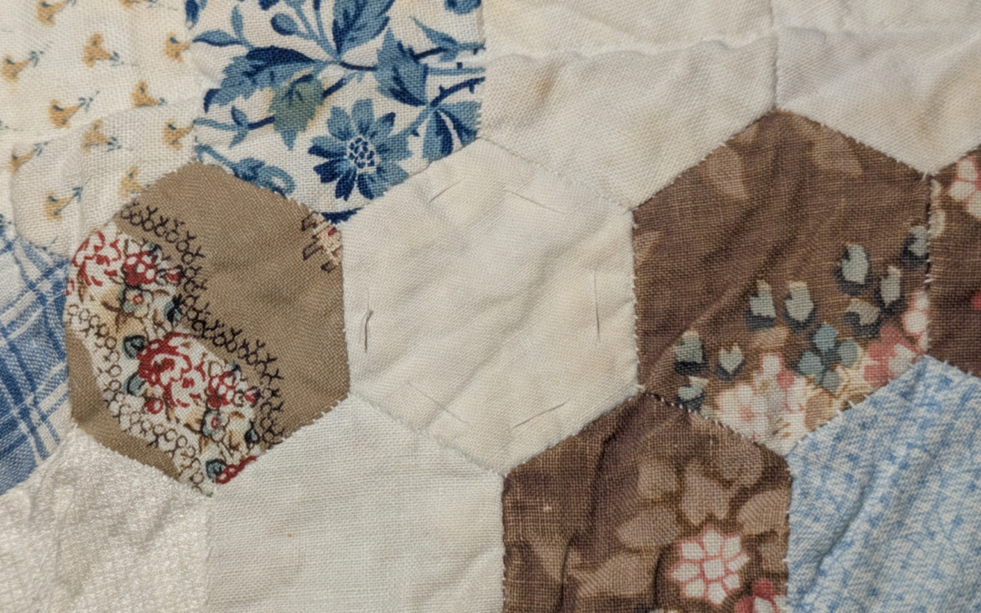
Collection Deep Dive: The Weld-Grimké Quilt
There are some things the written word just will not tell us, which is why we’ve always been so drawn to the material objects that get saved alongside them. The exquisite, oversized quilt that came to the Clements Library as part of an addition to the Weld-Grimké Family Papers from donor descendant Charlotte Mason in 2007 demonstrates this particularly well.
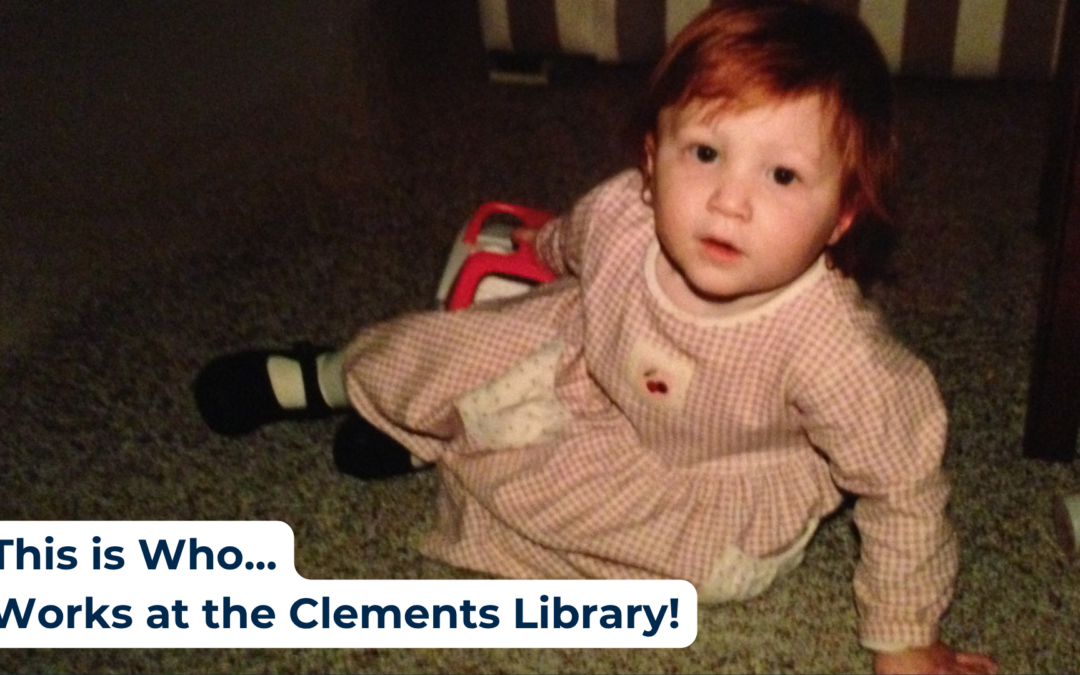
This is Who Works at the Clements Library!
Let’s take a look back in time to see the staff of the Clements Library before they got where they are today!
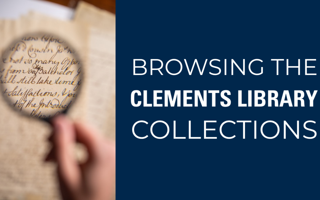
Browsing the William L. Clements Library’s Collections
Finding what you are looking for can seem daunting in the robust, world-class collection of the William L. Clements Library. Students, professors, and professional researchers reach out to our staff every day for help locating items on specific topics. This blog post briefly describes some methods for searching our collection and some resources that may help.